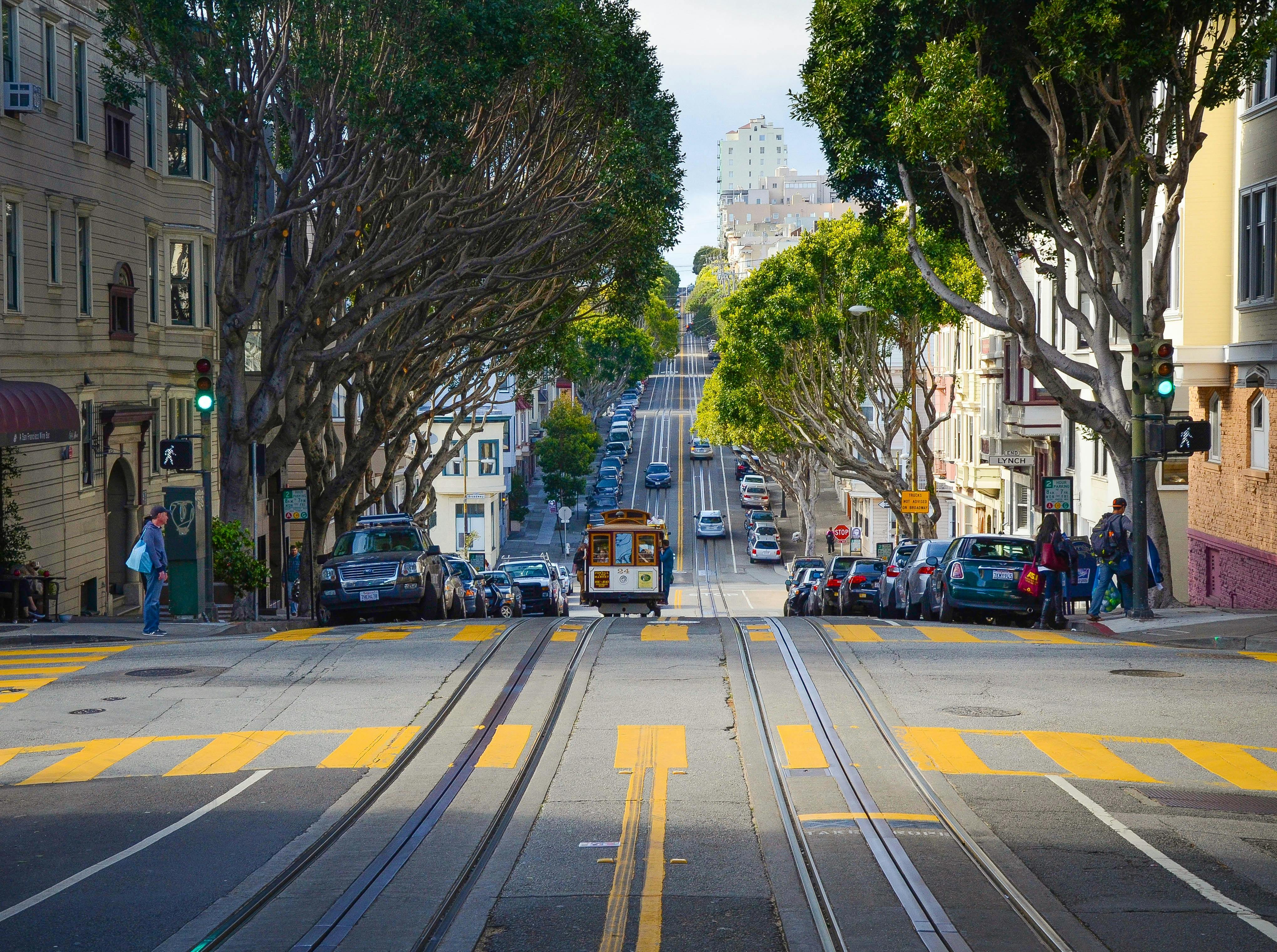
Kotmale in Development in Sri Lanka
The Kotmale oya river with its source in the Central Highlands of Sri Lanka at an elevation of 2,134 m (7,000 ft) running between the two hills of Tispane and Kadadora resulted in the valley having fertile soil, the ideal good soil for cultivation. During the glorious days of the ancient kings of Lanka, the valley had also been one of immense vitality: rice cultivation took root in clusters of villages amid the pottery and carpentry industries. It was the home of goldsmiths and blacksmiths. Pidurutalagala Oya stream, Nanu oya river, Greogory tank rush in its waters towards Kotmale Oya river. So are Devon Falls, St Clair Falls, Puna Falls and Cat Snake Garadi Falls. From the glory days of ancient Sri Lanka to the years of the modern Mahaweli Multi-Purpose Irrigation Fast Track Project, a huge volume of water rushed in, causing flooding that engulfed clusters of villages and towns in the Central Highlands of Sri Lanka. The highest water mark of the floods is observed even today at the Gampola railway station near Kandy, the gateway to the Central Highlands of Sri Lanka.
Although the need for a dam was noted in 1950, a couple of years after independence from the British colonial rulers, it was only in 1961 that preliminary studies of the Kotmale project were carried out by the Sri Lankan Government in association with the Sri Lanka Agency. USAID for International Development (USAID) and then again by UNDP-FAO from 1964 to 1968. During the period between 1973 and 1976, a feasibility study was carried out by the Water and Power Development Consultancy Services (India ) Limited (WAPCOS). In 1979 Sir William Halcrow and Partners in association with Messrs. Kennedy & Donkin and the Sri Lanka Central Consulting Engineering Bureau (CECB) were appointed to provide consultancy services: construction work commenced in February 1979; the reservoir was impounded in November 1984; commercial power generation began in June 1985; ceremonially commissioned in August 1985.
Kotmale Dam, Reservoir and Power Station
The dam with a crest length of 520 m and a height of 122 m created the Kotmale Reservoir, which at its maximum capacity regulates 174 million cubic meters of water from the Kotamale Oya River. The water thus dammed is first used for the generation of hydroelectric power. The contribution to the Sri Lankan national power grid by hydroelectric electricity at Kotmale amounts to no less than 206 megawatts. The water is then discharged to join the confluence of the Mahaweli ganga river and the Atabaghe Oya river.
But then all good things come at a price. Sri Lanka paid a heavy price for the Kotmale dam, reservoir, tunnel and underground hydroelectric power station. The Kotmale project is one of the five main projects of the Mahaweli River Diversification Mega Project, the largest irrigation system (modern or old) ever built on the island.
57 villages were lost. 54 ancient and medieval Buddhist temples were sunk along with 57 villages on both banks of the Kotmale Oya River hugging Tispane Hill and Kadadola Hill. It was thousands of times worse than the floods. I was ironic. Everything in the valley was lost for the rest of time, even the floods. There will be no more floods, but there will be no more towns either. It was analogous to throwing out the baby with the bathwater. But then Sri Lanka wanted the Mahaweli Multipurpose Irrigation Fast Track project. How do you make an omelette without breaking the egg?
Kotmale’s fate was announced
Today, the Kotmale Dam and Reservoir are not simply monuments of modern engineering, nor are they simply modern buildings on an ancient island steeped in agriculture: they are also testimony to the inevitable course of fate. During medieval times, a Nostrdamusque mathematician astrologer named Kotmale Ganitaya (Kotmale’s Mathematician) had predicted that one day in the future, Kadadora Hill and Thispane Hill would meet. The Kotmale Dam and the Kotmale Reservoir meant that the two hills were no longer separate: today they are joined by the concrete of the dam and the waters of the reservoir.
Mahaweli Maha Seya modern stupa
In an attempt to compensate for the 54 flooded temples, in the ancient Sri Lankan tradition, the Stupa Land of the Buddhist World, an imposing stupa rising to a height of 274 feet with a diameter of 200 feet (61 meters) was built. by the state on the right bank above the Kotmale Dam at an elevation of 950 m (4,150 ft) above sea level.
Kotmale in Sri Lankan history
Kotmale of Sri Lanka Holidays has long been a much adored village among the Sinhalese – the name of the legendary village in the Central Highlands of Sri Lanka elicits smiling faces and hearts full of love. History has given Kotamale unique significance: it was the village where Prince Dutugamunu, a native of the ancient southern kingdom of Ruhuna, found refuge. The prince had sent a pair of bracelets to his father, who did not give him permission to wage war against the Tamil invader Elara in Anuradapura. If you are a man, you have to fight your battles to the death; Since you are not ready for battle, you can also wear these bracelets, the beloved ornaments of ladies.
The prince lived in disguise known by an appropriate name: Gupta. It meant mystery in Sinhala in ancient times as it does today. The mystery was revealed by Kandula, the royal elephant who combed the land in search of the crown prince after the king’s death. The caparisoned royal elephant, escorted by royal bodyguards carrying the Sri Lankan banner, knelt in front of the Gupta farmers in the paddy field, plunging the farmers into deathly fear: the peon they loved but mocked he was the crown prince. By chance, the one who treated the farm boy with disinterested kindness turned out to be Ran Ethana, the prettiest maiden in town, the youngest daughter of the man of the house who gave him shelter. The prince held out his hand. The hand of god made her the queen of the island.
The lionhearted prince of Ruhuna went to battle with a great army of warriors and elephants led by ten Samsonesque commanders named Nandimithra, Suranimala, Velusumana, Gotabhaya, Pussadeva, Mahasona, Theraputtabhaya, Kanchadeva, Lahhiyawasaba and Bharana besieged, fought and ransacked Bastion As a Dravidian stronghold from Ruhuna to Anuradhapura, he defeated the formidable army of the Dravidian invader and rescued the Sinhalese nation and Buddhism.
King Dutugamunu (161-137 BC) is historically and traditionally honored with the supreme title of “The Hero of Sri Lanka”. On May 19, 2009, with the complete elimination of the terrorism that has wreaked havoc in the northern and eastern provinces of Sri Lanka for 30 years, popular President-elect Don Percy Mahendra Rajapakse, also from Ruhuna, was named “The Hero of the Modern Sri Lanka”. Today, Sri Lanka’s development is going full speed; the tourism business with Sri Lanka Holidays is in full swing.